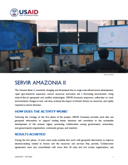
The Amazon Basin is constantly changing and threatened due to large scale infrastructure development, rapid agro-industrial expansion, natural resources extraction and a fluctuating environment. Using state-of-the-art geospatial and satellite technologies, SERVIR-Amazonia empowers authorities to track environmental changes in near real time, evaluate the impact of climatic threats on resources, and rapidly respond to natural disasters.
HOW DOES THE ACTIVITY WORK?
Following the strategy of the first phase of the project, SERVIR Amazonia provides tools that use geospatial information to support making better decisions and contribute to the sustainable development of the amazon region, promoting collaboration among governments, universities, non-governmental organizations, community groups, and scientists.

