OVERVIEW
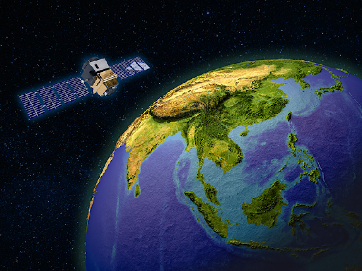
SERVIR Southeast Asia (SERVIR SEA) uses publicly available satellite technologies to support regional institutions, governments, and communities adapt to transboundary climate issues and mitigate the impacts of climate change. Aligning with the U.S. vision of a connected, resilient, and sustainable Indo-Pacific, SERVIR SEA and key stakeholders co-develop decision support tools to improve drought, flood and other natural disaster response; food security; air quality monitoring; and sustainable landscape management.
SERVIR SEA is part of a network of SERVIR hubs currently operating across the developing world through a partnership between the United States Agency for International Development (USAID) and the National Aeronautics and Space Administration (NASA). The activity is implemented by the Asian Disaster Preparedness Center (ADPC), and has a geographic scope that covers the Association of Southeast Asia Nations (ASEAN) region, which includes Burma, Cambodia, Indonesia, Lao PDR, Philippines, Thailand, and Vietnam.
SERVIR SEA builds on the successes of SERVIR-Mekong (2014-2022) in helping communities in the Lower Mekong Region respond to the impacts of climate change, including drought and flood management and response. SERVIR SEA leverages this experience and its extensive networks to scale up data-driven solutions for local communities throughout the region.
PRIORITIES
Enhancing regional natural disaster response and climate resilience
SERVIR SEA works to reduce loss of life and damage to property and critical infrastructure by developing and supporting the uptake of data-driven tools to improve decision making. The tools help decision makers in regional organizations, national governments, and local communities use geospatial information to mitigate the effects of floods and droughts, and adapt to the impacts of a changing climate.
Monitoring land cover & air quality for healthy communities & ecosystems
The activity works with regional platforms and networks, including the Center for People and Forests, International Union for Conservation of Nature, and ASEAN’s Technical Working Group on Transboundary Haze Pollution, to increase the use of land cover and air quality data to improve forest protection, forest fire management, and transboundary air pollution control.
Integrating satellite technologies to inform food security programming
SERVIR SEA uses remote sensing technology and climate models to estimate the impact of climate change on crop production in Burma, to inform the work of USAID/Burma and the international development community to improve food security and promote regional and global learning.
Using data to monitor protected areas & promote sustainable agriculture
To reduce deforestation and forest degradation, SERVIR SEA works with USAID/Cambodia to develop user-friendly tools for forest monitoring. In addition, satellite technology is integrated into crop mapping to inform planning and implementation of sustainable agriculture practices that can be shared and used regionally.
ANTICIPATED RESULTS
SERVIR SEA provides technical support to regional organizations and development partners to:
- Advise revisions on the ASEAN Transboundary Haze Roadmap to include the use of satellite data and regional weather models to supplement ground measurements for increased accuracy.
- Support implementation of the ASEAN Framework on Anticipatory Action in Disaster Management and strengthen the ASEAN Coordinating Centre for Humanitarian Assistance on Disaster Management to improve forecasting and early warning systems.
- Increase public data collection, through events (like a mapathon for data collection and a women leaders workshop) and online resources to update earth observation and gender equality monitoring platforms.
- Expand regional understanding of the uses of satellite imagery by developing country-level crop maps in Burma and Cambodia. This improves food security in Burma and increases private sector engagement in deforestation monitoring and land use planning in Cambodia.


